
MapVision- AI

Geospatial intelligence built for government decision-making

MapVision- AI

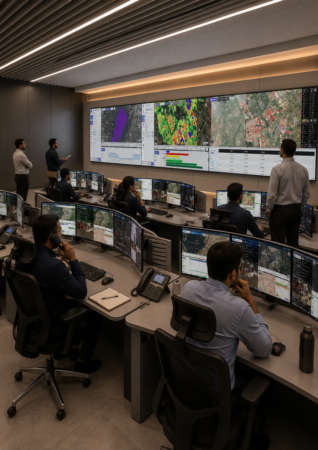
MapVision-AI is a browser based geo-spatial platform that transforms satellite imagery into actionable insights, offering unprecedented visibility to enhance assessment, monitoring and decision-making for urban local bodies.

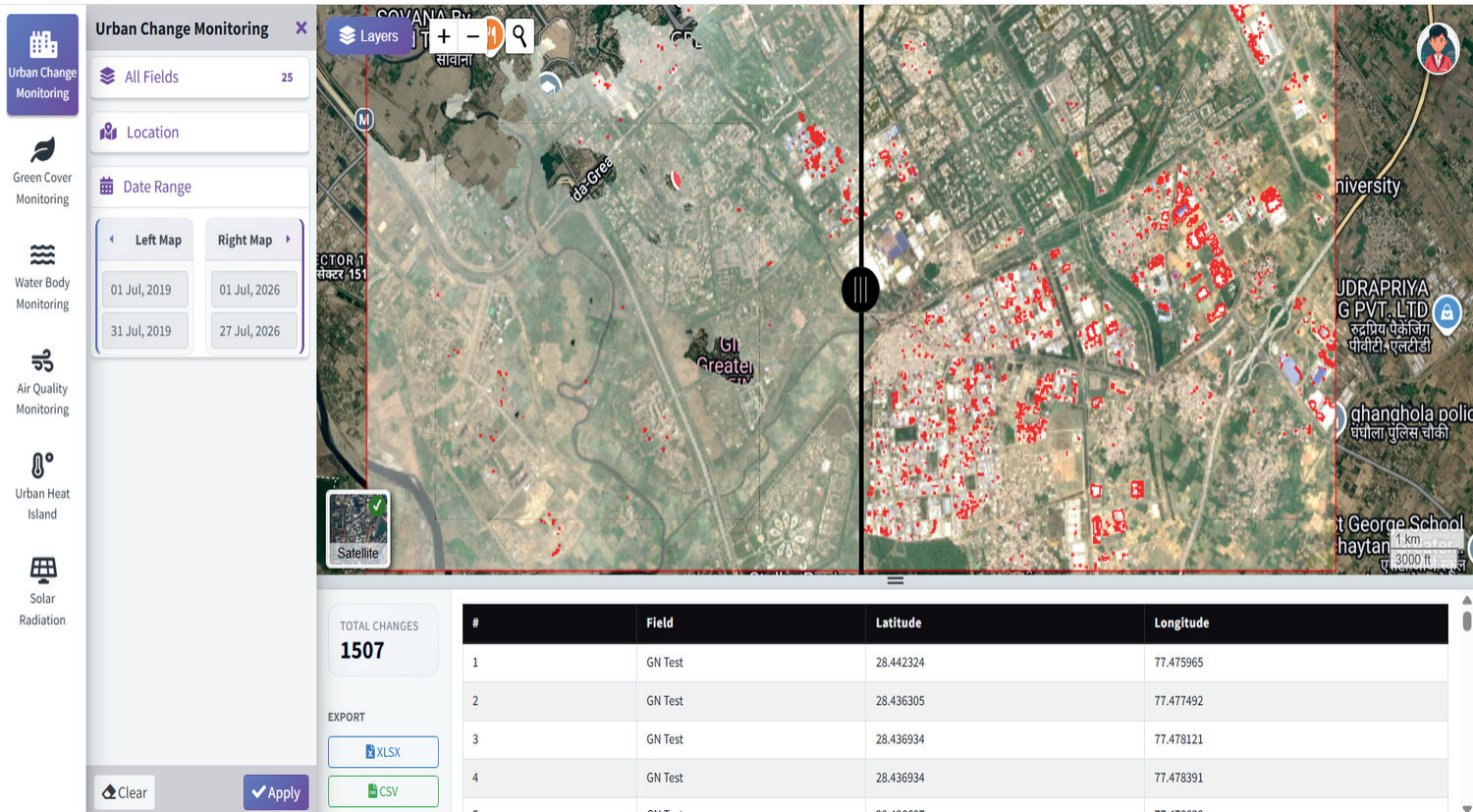
change detection

Multi-date satellite comparison that surfaces what changed inside any boundary – new construction, expansion, demolition, conversion with side – by side visual evidence.

Any two dates compared

City-scale coverage

Visual + vector evidence

Platform Capabilities

Open-standards web mapping engine
Temporal tools
Dashboards & reports
Handles very large imagery
3D visualisation

Integration & security
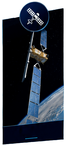
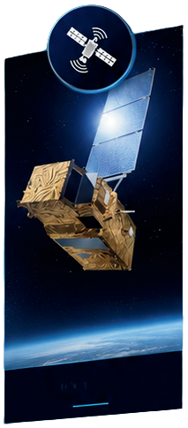
Imagery Sources

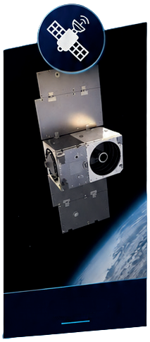
SENTINEL-1

SENTINEL-2

PLANETSCOPE

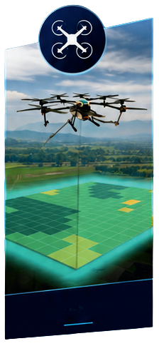
DRONE

Modules Covered

Module - A

Urban Change Detection & Illegal Encroachment Identification

Module - B

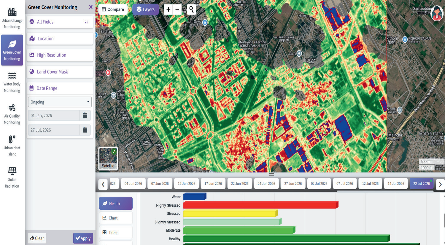
Green Cover Monitoring

Module - C

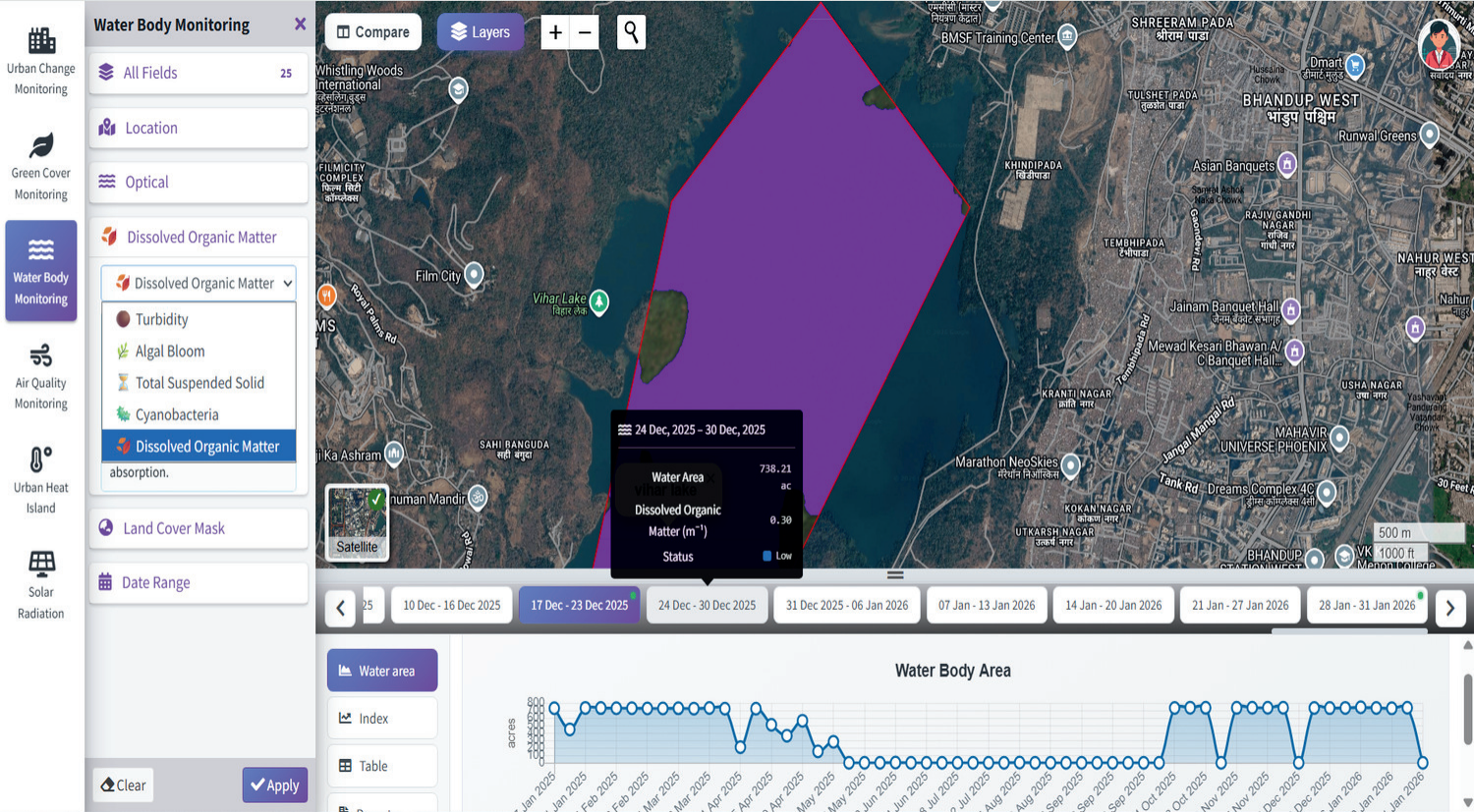
Water Body Monitoring

Module - D

Air Quality Monitoring
Use Cases

Urban Planning

Enables real-time monitoring of city expansion and land-use changes

Illegal Construction

Detects unauthorized construction at an early stage for timely enforcement

Property tax

Identifies unassessed and missing properties to maximize revenue collection

Water Bodies

Monitors encroachment and pollution in lakes, ponds and reserviors

Flood Management

Delivers predictive flood intelligence and early warning capabilities

Green Cover

Tracks tree cover changes and land conversion for effective environmental management

Air Pollution

Provides comprehensive spatial air quality monitoring and pollution mapping

Dashboard Overview

Urban Change Detection

Green Cover Monitoring

Water Body Monitoring